
Goff topographic map
Interactive map
Click on the map to display elevation.
About this map
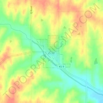
Name: Goff topographic map, elevation, terrain.
Location: Goff, Nemaha County, Kansas, 66428, USA (39.65998 -95.93727 39.66853 -95.92587)
Average elevation: 1,276 ft
Minimum elevation: 1,188 ft
Maximum elevation: 1,355 ft