
Miltomson topographic map
Interactive map
Click on the map to display elevation.
About this map
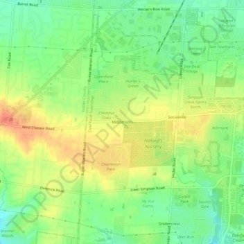
Name: Miltomson topographic map, elevation, terrain.
Location: Miltomson, Warren County, Ohio, 45040, United States (39.29867 -84.36327 39.33867 -84.32327)
Average elevation: 906 ft
Minimum elevation: 827 ft
Maximum elevation: 988 ft