
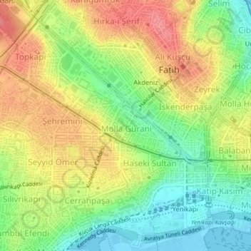
Molla Gürani Mahallesi topographic map
Interactive map
Click on the map to display elevation.
About this map
Name: Molla Gürani Mahallesi topographic map, elevation, terrain.
Average elevation: 125 ft
Minimum elevation: -3 ft
Maximum elevation: 256 ft
Other topographic maps
Click on a map to view its topography, its elevation and its terrain.
Yedikule Mahallesi
Yedikule Mahallesi, Istanbul, Fatih, İstanbul, Région de Marmara, Turquie
Average elevation: 49 ft