
Madarcos topographic map
Interactive map
Click on the map to display elevation.
About this map
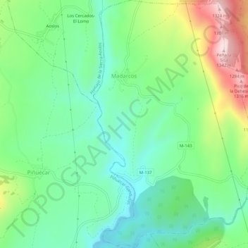
Name: Madarcos topographic map, elevation, terrain.
Location: Madarcos, Sierra Norte, Comunidad de Madrid, España (41.02158 -3.58835 41.05920 -3.55483)
Average elevation: 3,510 ft
Minimum elevation: 3,104 ft
Maximum elevation: 4,370 ft