
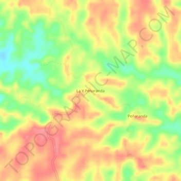
La Y Penaranda topographic map
Interactive map
Click on the map to display elevation.
About this map
Name: La Y Penaranda topographic map, elevation, terrain.
Location: La Y Penaranda, Solano, Caquetá, Colombia (0.94290 -75.01847 0.98290 -74.97847)
Average elevation: 906 ft
Minimum elevation: 755 ft
Maximum elevation: 1,010 ft