
Ghalat topographic map
Interactive map
Click on the map to display elevation.
About this map
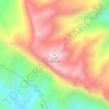
Name: Ghalat topographic map, elevation, terrain.
Location: Ghalat, بخش مرکزی, Shiraz County, Fars Province, Iran (29.78010 52.30920 29.78020 52.30930)
Average elevation: 8,583 ft
Minimum elevation: 7,205 ft
Maximum elevation: 9,826 ft