
Wills topographic map
Interactive map
Click on the map to display elevation.
About this map
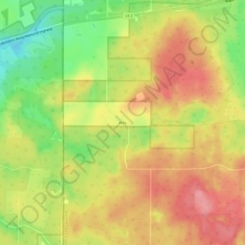
Name: Wills topographic map, elevation, terrain.
Location: Wills, Town of Hughes, Bayfield County, Wisconsin, USA (46.51911 -91.55936 46.55911 -91.51936)
Average elevation: 1,178 ft
Minimum elevation: 994 ft
Maximum elevation: 1,309 ft