
Tingo topographic map
Interactive map
Click on the map to display elevation.
About this map
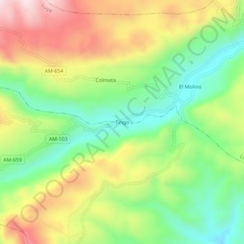
Name: Tingo topographic map, elevation, terrain.
Location: Tingo, Luya, Amazonas, Perú (-6.20883 -78.00090 -6.16883 -77.96090)
Average elevation: 8,248 ft
Minimum elevation: 7,546 ft
Maximum elevation: 9,177 ft