
Tim Mountain topographic map
Interactive map
Click on the map to display elevation.
About this map
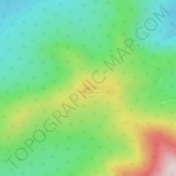
Name: Tim Mountain topographic map, elevation, terrain.
Location: Tim Mountain, Tim Pond Township, Franklin County, Maine, USA (45.14167 -70.60928 45.14177 -70.60918)
Average elevation: 2,602 ft
Minimum elevation: 2,021 ft
Maximum elevation: 3,714 ft
Other topographic maps
Click on a map to view its topography, its elevation and its terrain.
Tim Pond
USA > Maine > Tim Pond Township
Tim Pond, Green Gate Road, Tim Pond Township, Franklin County, Maine, USA
Average elevation: 2,083 ft