
Santa Teresa topographic map
Interactive map
Click on the map to display elevation.
About this map
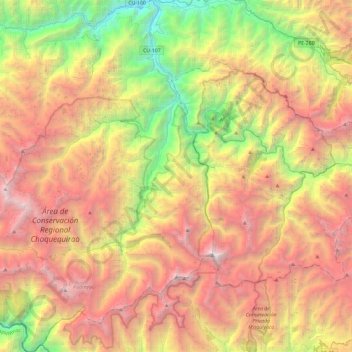
Name: Santa Teresa topographic map, elevation, terrain.
Location: Santa Teresa, La Convención, Cusco, Peru (-13.45813 -72.96463 -13.00449 -72.54432)
Average elevation: 11,745 ft
Minimum elevation: 3,812 ft
Maximum elevation: 20,440 ft