
Muttenz topographic map
Interactive map
Click on the map to display elevation.
About this map
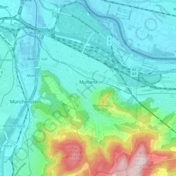
Name: Muttenz topographic map, elevation, terrain.
Location: Muttenz, Bezirk Arlesheim, Bâle-Campagne, 4132, Suisse (47.49457 7.62158 47.55169 7.67509)
Average elevation: 1,119 ft
Minimum elevation: 837 ft
Maximum elevation: 2,185 ft