
洪水镇 topographic map
Interactive map
Click on the map to display elevation.
About this map
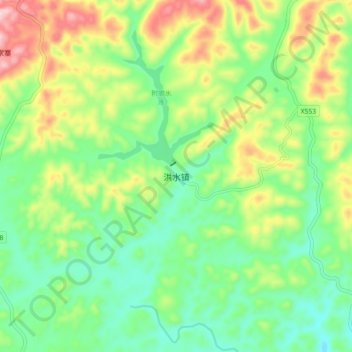
Name: 洪水镇 topographic map, elevation, terrain.
Location: 洪水镇, 黔西县, 毕节市, Guizhou, RPC (27.06080 105.95000 27.14080 106.03000)
Average elevation: 4,298 ft
Minimum elevation: 3,930 ft
Maximum elevation: 4,970 ft