
Biggar topographic map
Interactive map
Click on the map to display elevation.
About this map
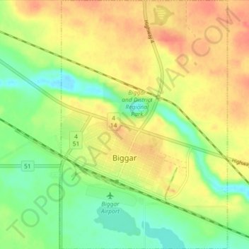
Name: Biggar topographic map, elevation, terrain.
Location: Biggar, Saskatchewan, S0K 0M0, Canada (52.04160 -108.00310 52.08525 -107.95526)
Average elevation: 2,172 ft
Minimum elevation: 2,087 ft
Maximum elevation: 2,247 ft