
A Barra topographic map
Interactive map
Click on the map to display elevation.
About this map
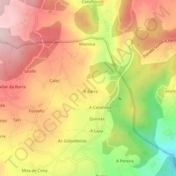
Name: A Barra topographic map, elevation, terrain.
Location: A Barra, Coles, Orense, Galicia, España (42.42504 -7.83701 42.44045 -7.81415)
Average elevation: 1,152 ft
Minimum elevation: 446 ft
Maximum elevation: 1,644 ft
Other topographic maps
Click on a map to view its topography, its elevation and its terrain.