
Siersdorf topographic map
Interactive map
Click on the map to display elevation.
About this map
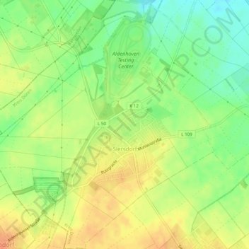
Name: Siersdorf topographic map, elevation, terrain.
Average elevation: 397 ft
Minimum elevation: 328 ft
Maximum elevation: 456 ft
Other topographic maps
Click on a map to view its topography, its elevation and its terrain.
Pützdorf
Deutschland > Nordrhein-Westfalen > Kreis Düren > Aldenhoven
Pützdorf, Aldenhoven, Kreis Düren, Nordrhein-Westfalen, 52457, Deutschland
Average elevation: 361 ft