Haut-Barr topographic map
Interactive map
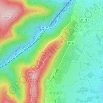
Click on the map to display elevation.
About this map
Name: Haut-Barr topographic map, elevation, terrain.
Average elevation: 945 ft
Minimum elevation: 627 ft
Maximum elevation: 1,529 ft

Click on the map to display elevation.
Name: Haut-Barr topographic map, elevation, terrain.
Average elevation: 945 ft
Minimum elevation: 627 ft
Maximum elevation: 1,529 ft