
دهستان پیشکوه topographic map
Interactive map
Click on the map to display elevation.
About this map
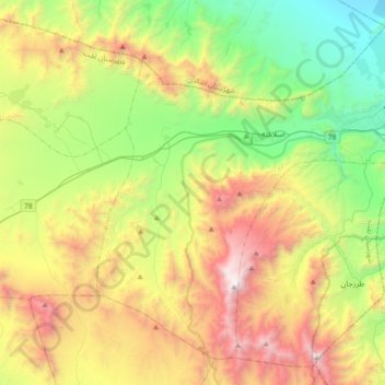
Name: دهستان پیشکوه topographic map, elevation, terrain.
Location: دهستان پیشکوه, بخش مرکزی, Taft County, Yazd Province, Iran (31.54710 53.93749 31.81628 54.30362)
Average elevation: 7,772 ft
Minimum elevation: 4,367 ft
Maximum elevation: 13,278 ft
Other topographic maps
Click on a map to view its topography, its elevation and its terrain.
Bakh
Iran > Yazd Province > Taft County > دهستان گاریزات
Bakh, دهستان گاریزات, بخش گاریزات, Taft County, Yazd Province, Iran
Average elevation: 6,614 ft