
Puerto Palomas topographic map
Interactive map
Click on the map to display elevation.
About this map
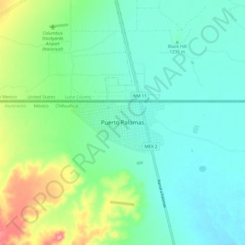
Name: Puerto Palomas topographic map, elevation, terrain.
Location: Puerto Palomas, Ascensión, Chihuahua, México (31.73674 -107.67471 31.81674 -107.59471)
Average elevation: 4,055 ft
Minimum elevation: 3,967 ft
Maximum elevation: 4,304 ft
Other topographic maps
Click on a map to view its topography, its elevation and its terrain.