
Seis am Schlern - Siusi allo Sciliar topographic map
Interactive map
Click on the map to display elevation.
About this map
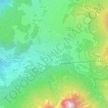
Name: Seis am Schlern - Siusi allo Sciliar topographic map, elevation, terrain.
Average elevation: 3,973 ft
Minimum elevation: 2,260 ft
Maximum elevation: 7,730 ft
Other topographic maps
Click on a map to view its topography, its elevation and its terrain.
Compatsch
Italy > Trentino-Alto Adige/Südtirol > South Tyrol > Kastelruth - Castelrotto
Compatsch, Kastelruth - Castelrotto, Salten-Schlern - Salto-Sciliar, South Tyrol, Trentino-Alto Adige/Südtirol, 39040, Italy
Average elevation: 6,099 ft