
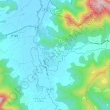
Sant Esteve d'en Bas topographic map
Interactive map
Click on the map to display elevation.
About this map
Name: Sant Esteve d'en Bas topographic map, elevation, terrain.
Average elevation: 1,837 ft
Minimum elevation: 1,526 ft
Maximum elevation: 3,022 ft