
Kalâa of Ait Abbas topographic map
Interactive map
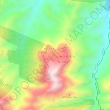
Click on the map to display elevation.
About this map
Name: Kalâa of Ait Abbas topographic map, elevation, terrain.
Average elevation: 2,717 ft
Minimum elevation: 1,683 ft
Maximum elevation: 4,186 ft