
Ulindakonda topographic map
Interactive map
Click on the map to display elevation.
About this map
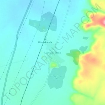
Name: Ulindakonda topographic map, elevation, terrain.
Location: Ulindakonda, Kurnool, Andhra Pradesh, India (15.62737 77.95151 15.66737 77.99151)
Average elevation: 1,129 ft
Minimum elevation: 1,027 ft
Maximum elevation: 1,506 ft