
Glens Falls topographic map
Interactive map
Click on the map to display elevation.
About this map
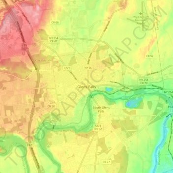
Name: Glens Falls topographic map, elevation, terrain.
Location: Glens Falls, Warren County, New York, 12801, United States (43.26994 -73.68445 43.34994 -73.60445)
Average elevation: 335 ft
Minimum elevation: 112 ft
Maximum elevation: 531 ft