
Marknesse topographic map
Interactive map
Click on the map to display elevation.
About this map
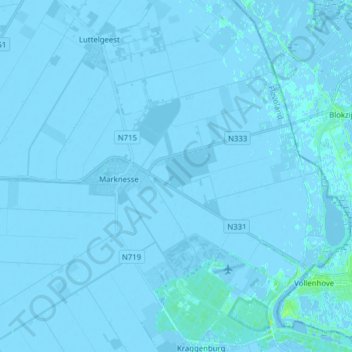
Name: Marknesse topographic map, elevation, terrain.
Location: Marknesse, Noordoostpolder, Flevoland, Nederland (52.66753 5.80962 52.75117 5.96516)
Average elevation: -3 ft
Minimum elevation: -16 ft
Maximum elevation: 30 ft
Other topographic maps
Click on a map to view its topography, its elevation and its terrain.
Noordoostpolder
Nederland > Flevoland > Noordoostpolder
Noordoostpolder, Flevoland, Nederland
Average elevation: -3 ft