
Glen Mills topographic map
Interactive map
Click on the map to display elevation.
About this map
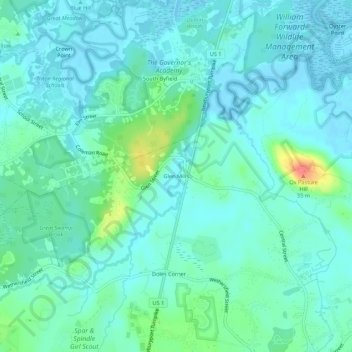
Name: Glen Mills topographic map, elevation, terrain.
Location: Glen Mills, Essex County, Massachusetts, 01922-2197, USA (42.71759 -70.92116 42.75759 -70.88116)
Average elevation: 39 ft
Minimum elevation: -10 ft
Maximum elevation: 203 ft