
Sabra topographic map
Interactive map
Click on the map to display elevation.
About this map
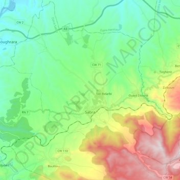
Name: Sabra topographic map, elevation, terrain.
Location: Sabra, Daïra Sabra, Tlemcen, Algérie (34.76185 -1.62569 34.93246 -1.41482)
Average elevation: 1,909 ft
Minimum elevation: 725 ft
Maximum elevation: 4,564 ft