
Sodom topographic map
Interactive map
Click on the map to display elevation.
About this map
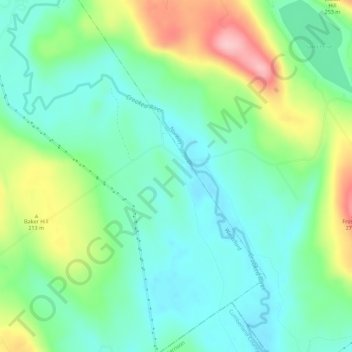
Name: Sodom topographic map, elevation, terrain.
Location: Sodom, Oxford County, Maine, USA (44.16535 -70.65312 44.20535 -70.61312)
Average elevation: 561 ft
Minimum elevation: 397 ft
Maximum elevation: 925 ft