
Douglas Park topographic map
Interactive map
Click on the map to display elevation.
About this map
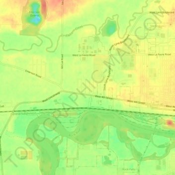
Name: Douglas Park topographic map, elevation, terrain.
Location: Douglas Park, Whiteside County, Illinois, 61037, USA (41.77392 -89.75455 41.81392 -89.71455)
Average elevation: 646 ft
Minimum elevation: 558 ft
Maximum elevation: 709 ft