
Nelson topographic map
Interactive map
Click on the map to display elevation.
About this map
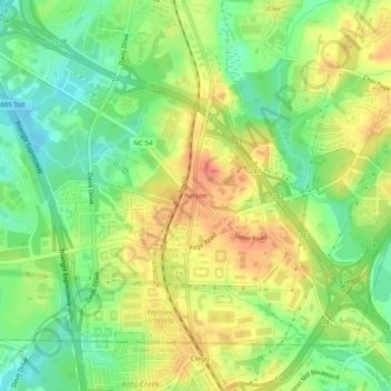
Name: Nelson topographic map, elevation, terrain.
Location: Nelson, Durham County, North Carolina, 27709, USA (35.86237 -78.87001 35.90237 -78.83001)
Average elevation: 351 ft
Minimum elevation: 269 ft
Maximum elevation: 430 ft