
Nacaome topographic map
Interactive map
Click on the map to display elevation.
About this map
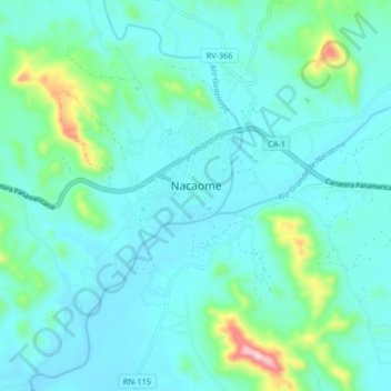
Name: Nacaome topographic map, elevation, terrain.
Location: Nacaome, Valle, Honduras (13.37255 -87.64814 13.69255 -87.32814)
Average elevation: 430 ft
Minimum elevation: -3 ft
Maximum elevation: 3,166 ft