
Mehlingen topographic map
Interactive map
Click on the map to display elevation.
About this map
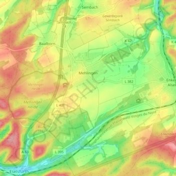
Name: Mehlingen topographic map, elevation, terrain.
Average elevation: 1,014 ft
Minimum elevation: 814 ft
Maximum elevation: 1,217 ft
In den 1830er Jahren rückten politische Bewegungen in den Vordergrund, deren Höhepunkt das Hambacher Fest war, an dem nicht wenige Einheimische teilnahmen.