
Chapin topographic map
Interactive map
Click on the map to display elevation.
About this map
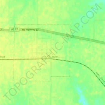
Name: Chapin topographic map, elevation, terrain.
Location: Chapin, Morgan County, Illinois, Estados Unidos de América (39.75954 -90.41204 39.77417 -90.39320)
Average elevation: 620 ft
Minimum elevation: 577 ft
Maximum elevation: 636 ft