
下洋新村 topographic map
Interactive map
Click on the map to display elevation.
About this map
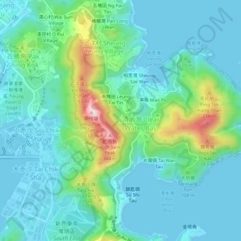
Name: 下洋新村 topographic map, elevation, terrain.
Location: 下洋新村, 清水灣, 上洋村, 西貢區, 新界, 香港, 中国 (22.27803 114.26788 22.31803 114.30788)
Average elevation: 210 ft
Minimum elevation: -13 ft
Maximum elevation: 1,017 ft
Other topographic maps
Click on a map to view its topography, its elevation and its terrain.