
洛水镇 topographic map
Interactive map
Click on the map to display elevation.
About this map
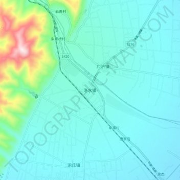
Name: 洛水镇 topographic map, elevation, terrain.
Location: 洛水镇, 德阳市, 四川省, 中国 (31.20925 104.01333 31.28925 104.09333)
Average elevation: 2,293 ft
Minimum elevation: 1,969 ft
Maximum elevation: 4,094 ft
Other topographic maps
Click on a map to view its topography, its elevation and its terrain.