
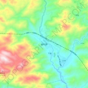
咸村镇 topographic map
Interactive map
Click on the map to display elevation.
About this map
Name: 咸村镇 topographic map, elevation, terrain.
Location: 咸村镇, 周宁县, 宁德市, 福建省, 中国 (26.89917 119.32159 26.97917 119.40159)
Average elevation: 1,365 ft
Minimum elevation: 203 ft
Maximum elevation: 3,533 ft
Other topographic maps
Click on a map to view its topography, its elevation and its terrain.