
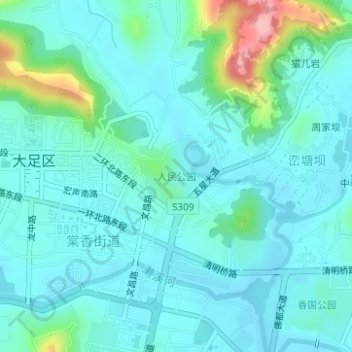
人民公园 topographic map
Interactive map
Click on the map to display elevation.
About this map
Name: 人民公园 topographic map, elevation, terrain.
Location: 人民公园, 棠香街道, 大足区, 重庆市, 中国 (29.70428 105.72712 29.71028 105.73438)
Average elevation: 1,286 ft
Minimum elevation: 1,201 ft
Maximum elevation: 1,677 ft