
Guadet topographic map
Interactive map
Click on the map to display elevation.
About this map
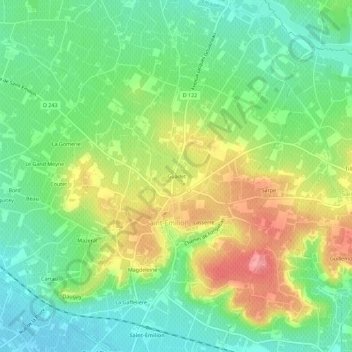
Name: Guadet topographic map, elevation, terrain.
Average elevation: 167 ft
Minimum elevation: 39 ft
Maximum elevation: 361 ft
Other topographic maps
Click on a map to view its topography, its elevation and its terrain.
Lasserre
France > Nouvelle-Aquitaine > Gironde > Saint-Émilion
Lasserre, Saint-Émilion, Libourne, Gironde, Nouvelle-Aquitaine, France métropolitaine, 33330, France
Average elevation: 167 ft
Pourret
France > Nouvelle-Aquitaine > Gironde > Saint-Émilion
Pourret, Saint-Émilion, Libourne, Gironde, Nouvelle-Aquitaine, France métropolitaine, 33330, France
Average elevation: 148 ft