
Kurtz Woods State Natural Area topographic map
Interactive map
Click on the map to display elevation.
About this map
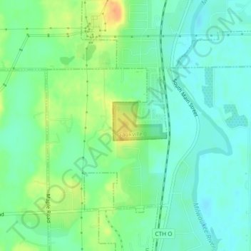
Name: Kurtz Woods State Natural Area topographic map, elevation, terrain.
Average elevation: 781 ft
Minimum elevation: 738 ft
Maximum elevation: 863 ft