
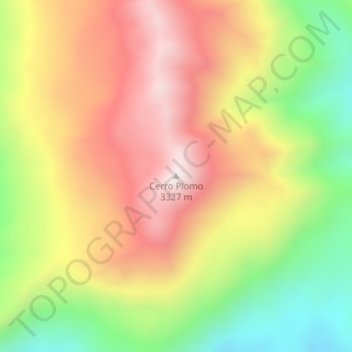
Cerro Plomo topographic map
Interactive map
Click on the map to display elevation.
About this map
Name: Cerro Plomo topographic map, elevation, terrain.
Average elevation: 9,734 ft
Minimum elevation: 8,481 ft
Maximum elevation: 10,866 ft
Other topographic maps
Click on a map to view its topography, its elevation and its terrain.
Cerro Bravo
Cerro Bravo, Distrito Cuadro Benegas, Departamento San Rafael, Mza., Argentina
Average elevation: 12,228 ft