
Vreren topographic map
Interactive map
Click on the map to display elevation.
About this map
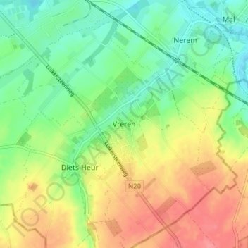
Name: Vreren topographic map, elevation, terrain.
Location: Vreren, Tongeren, Limburg, Vlaanderen, 4452, België (50.73203 5.47570 50.77203 5.51570)
Average elevation: 367 ft
Minimum elevation: 269 ft
Maximum elevation: 489 ft