
Goldenstedt topographic map
Interactive map
Click on the map to display elevation.
About this map
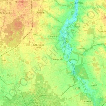
Name: Goldenstedt topographic map, elevation, terrain.
Location: Goldenstedt, Landkreis Vechta, Nedersaksen, 49424, Duitsland (52.71223 8.30906 52.82619 8.47375)
Average elevation: 128 ft
Minimum elevation: 69 ft
Maximum elevation: 187 ft