
Subukin topographic map
Interactive map
Click on the map to display elevation.
About this map
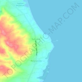
Name: Subukin topographic map, elevation, terrain.
Location: Subukin, Batangas, Calabarzon, 4226, Philippines (13.70235 121.42315 13.74235 121.46315)
Average elevation: 59 ft
Minimum elevation: -10 ft
Maximum elevation: 279 ft