
Withers topographic map
Interactive map
Click on the map to display elevation.
About this map
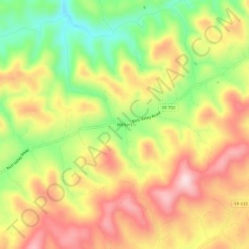
Name: Withers topographic map, elevation, terrain.
Location: Withers, Washington County, Virginia, USA (36.70622 -82.12458 36.74622 -82.08458)
Average elevation: 2,077 ft
Minimum elevation: 1,552 ft
Maximum elevation: 2,546 ft