
Mecatlán topographic map
Interactive map
Click on the map to display elevation.
About this map
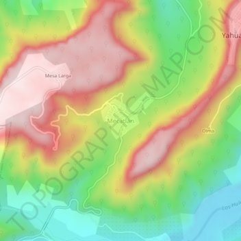
Name: Mecatlán topographic map, elevation, terrain.
Location: Mecatlán, Yahualica, Hidalgo, Mexico (20.91500 -98.42278 20.95500 -98.38278)
Average elevation: 1,532 ft
Minimum elevation: 673 ft
Maximum elevation: 2,392 ft