
Puerto Arista topographic map
Interactive map
Click on the map to display elevation.
About this map
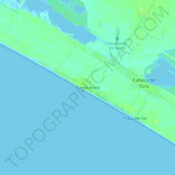
Name: Puerto Arista topographic map, elevation, terrain.
Location: Puerto Arista, Tonalá, Chiapas, México (15.89282 -93.84712 15.97282 -93.76712)
Average elevation: 7 ft
Minimum elevation: -3 ft
Maximum elevation: 39 ft