
Cervantes topographic map
Click on the map to display elevation.
About this map
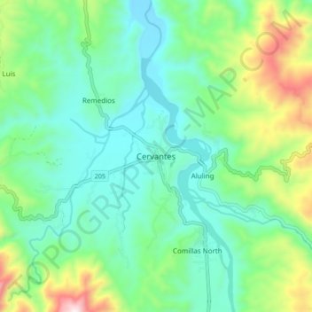
Name: Cervantes topographic map, elevation, terrain.
Location: Cervantes, Ilocos Sur, 2718, Philippines (16.94995 120.69546 17.02995 120.77546)
Average elevation: 2,001 ft
Minimum elevation: 1,293 ft
Maximum elevation: 3,983 ft
Other topographic maps
Click on a map to view its topography, its elevation and its terrain.