
Ocotlán topographic map
Interactive map
Click on the map to display elevation.
About this map
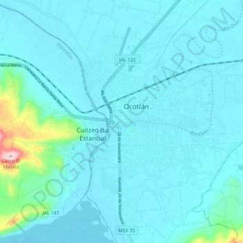
Name: Ocotlán topographic map, elevation, terrain.
Location: Ocotlán, Jalisco, 47870, México (20.30636 -102.81398 20.38636 -102.73398)
Average elevation: 5,079 ft
Minimum elevation: 4,984 ft
Maximum elevation: 5,971 ft