
Area B (Quesnel West/Bouchie Lake) topographic map
Interactive map
Click on the map to display elevation.
About this map
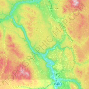
Name: Area B (Quesnel West/Bouchie Lake) topographic map, elevation, terrain.
Average elevation: 2,631 ft
Minimum elevation: 1,516 ft
Maximum elevation: 4,692 ft