
Ploegsteert topographic map
Interactive map
Click on the map to display elevation.
About this map
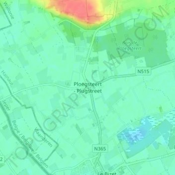
Name: Ploegsteert topographic map, elevation, terrain.
Location: Ploegsteert, Wallonië, 7782, België (50.70622 2.86031 50.74622 2.90031)
Average elevation: 69 ft
Minimum elevation: 30 ft
Maximum elevation: 203 ft