
La Fe topographic map
Interactive map
Click on the map to display elevation.
About this map
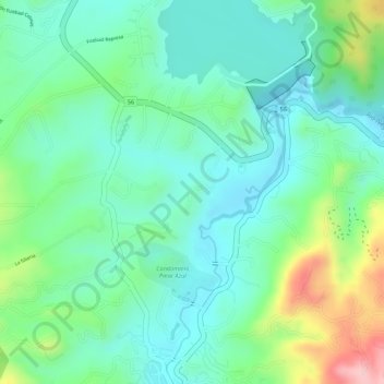
Name: La Fe topographic map, elevation, terrain.
Location: La Fe, El Retiro, Retiro, Oriente, Antioquia, Colombia (6.07841 -75.50635 6.09841 -75.48635)
Average elevation: 7,159 ft
Minimum elevation: 6,962 ft
Maximum elevation: 7,618 ft
Other topographic maps
Click on a map to view its topography, its elevation and its terrain.